Kālia Fishponds
Sponsored by: Vision Team of Kapahulu Diamond Head & Waikīkī
GPS Coordinates: 21.2814°N, -157.8335°W
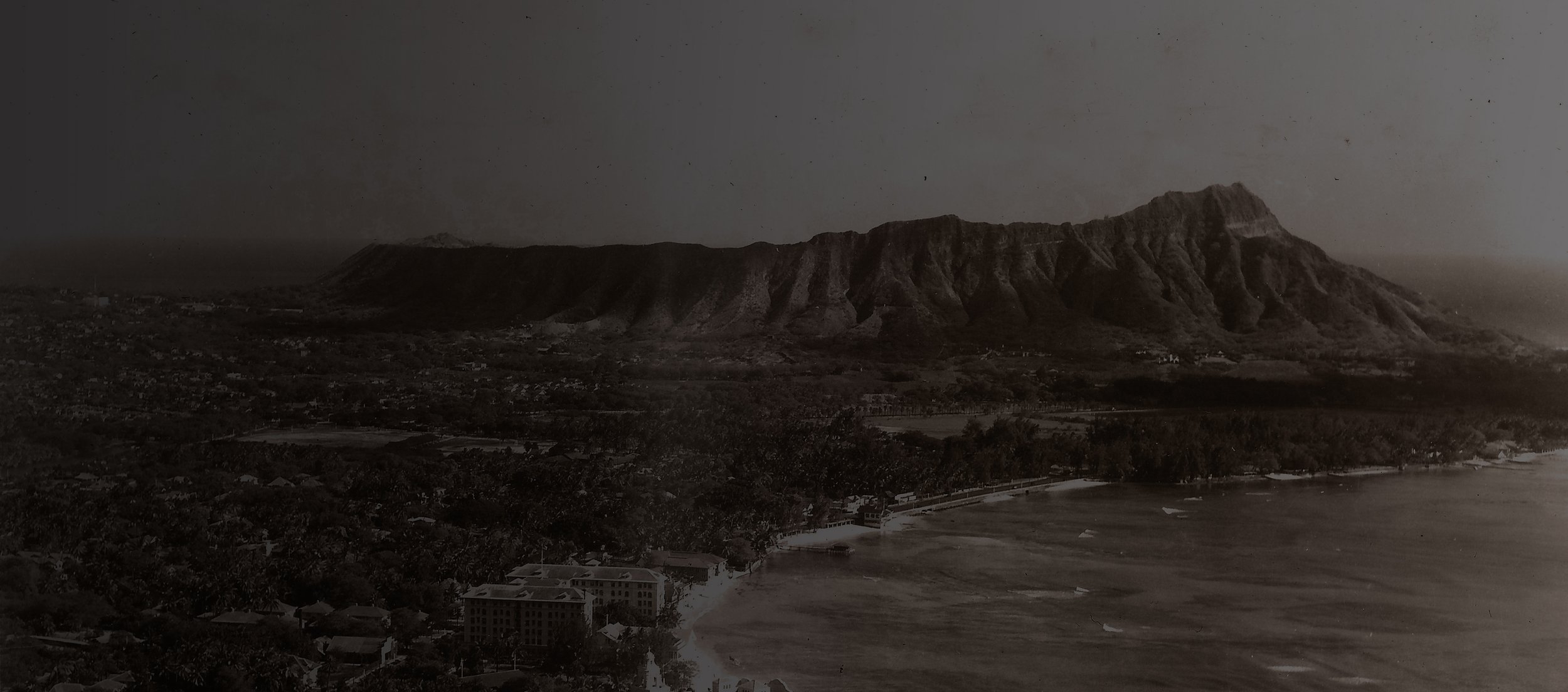
Had you walked across this road in 1897 you might have landed in Waikīkī’s largest fishpond, the Ka‘ihikapu, which measured 13 acres. All of today’s Fort DeRussy on the ma uka (toward the mountain) side of the road was covered with fishponds. There were actually hundreds of fishponds in Waikīkī. The fishponds were controlled by the chiefs but maintained by the commoners. The fish grown in the ponds were mostly ‘amaʻama (or mullet) and awa (or milkfish) both of which adapted well to brackish water. When the ponds were well cared for the fish fattened quickly. The ponds functioned as “royal iceboxes” with readily available food for guests especially the unexpected.
Native Hawaiians believed their fishponds were inhabited by moʻo deities who were sometimes described as creatures with terrifying black bodies, 12 to 30 feet in length. Native Hawaiians believed these creatures were guardian spirits of fish ponds, who not only protected the caretakers but punished those who abused their responsibilities. The reclamation of Waikīkī began here in Kālia when the U.S. military acquired 72 acres of land and started draining it in 1908 to build Fort DeRussy. It took over 250,000 cubic yards of sand and coral dredged from various O‘ahu areas continuously over the course of a year to cover Ka‘ihikapu and its sister ponds in Kālia. The Hale Koa Hotel is used exclusively for U.S. military personnel and their dependents.
